Environmental Monitoring to Evaluate Environmental Performance
Environmental monitoring services to evaluate rehabilitation progress, landscape stability, vegetation performance, and erosion based on field data and monitoring technologies.
Monitoring rehabilitation, vegetation, landscape stability, and erosion over time.
Monitoring data can be used to evaluate environmental performance and identify management or remediation needs.
Monitoring to Understand Rehabilitation and Environmental Performance
Monitoring programs are used to measure the performance of rehabilitation, vegetation, landscape conditions, and erosion over time.
Environmental Monitoring
Monitoring programs can be tailored to project requirements to provide data on environmental conditions and changes over time.
Rehabilitation Monitoring
Monitoring rehabilitation progress and landscape stability over time.
Vegetation Monitoring
Evaluating vegetation cover, growth, diversity, and overall vegetation health.
Erosion Monitoring
Monitoring runoff and erosion rates under different rehabilitation conditions.
Erosion Monitoring Plot
Establishing and managing long-term erosion monitoring plots.
Rainfall Simulation
Conducting field rainfall simulations to evaluate erosion processes and rates.
Soil Erodibility Testing
Conducting soil erodibility testing as part of erosion process assessment.
Field Data to Evaluate Environmental Performance
Monitoring programs combine assessment methods, field testing, and remote sensing technologies to obtain information about environmental conditions.
Environmental Monitoring and Assessment
Landscape Function Analysis
Evaluating landscape performance using Landscape Function Analysis (LFA).
BioCondition
Assessing environmental and vegetation conditions using the BioCondition framework.
Gully Assessment
Assessing rill and gully activity to help determine whether erosion remains active and whether remediation measures are required.
LiDAR Monitoring
Drones and ground-based LiDAR are used to assess erosional stability in areas that are difficult to monitor.
Generating Data to Support Environmental Management
Monitoring results can be used to evaluate rehabilitation performance, assess progress against completion criteria, and identify management or remediation needs.
Monitoring rehabilitation progress and performance.
Assessing vegetation condition and development.
Measuring runoff and erosion rates.
Evaluating landscape and pit wall stability.
Environmental Monitoring
Monitoring programs to evaluate rehabilitation, vegetation, landscape conditions, runoff, and erosion.
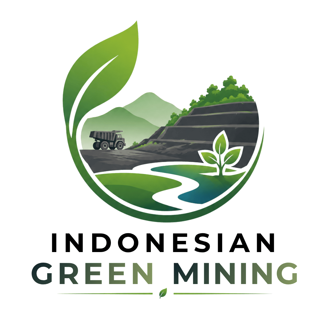
- Rehabilitation progress monitoring
- Landscape stability monitoring
- Vegetation cover monitoring
- Vegetation growth monitoring
- Vegetation diversity and health monitoring
Complete Indonesian Green Mining Services
Technical and environmental solutions supporting landform design, rehabilitation, erosion control, reclamation, as well as environmental management and monitoring.
Development of rehabilitation landform concepts and designs considering topographic conditions, land geometry, stability, drainage, erosion control, and revegetation requirements.
CONSULTATION →
Conducting field observations and trials to obtain actual site data as a basis for evaluating rehabilitation designs and strategies.
CONSULTATION →
Assessing soil characteristics related to erosion susceptibility as one of the foundations for determining landform design and surface erosion control strategies.
CONSULTATION →
Modelling to evaluate potential erosion and changes in landform characteristics, allowing design alternatives to be assessed in a more measurable manner.
CONSULTATION →
Testing surface or material characteristics to help understand erosion-triggering conditions and support the selection of appropriate control measures.
CONSULTATION →
Monitoring environmental conditions and rehabilitation area development to support evaluation of landform preparation and design outcomes.
CONSULTATION →
Supplying and planting vetiver as one of the vegetative options for suitable sites to help protect soil surfaces and control erosion.
CONSULTATION →
Planning and management of mining areas as part of the closure process, including securing, stabilization, and land restoration in accordance with the activity plan.
CONSULTATION →
Designing and implementing technical and vegetative measures to help reduce soil loss and maintain landform surface stability.
CONSULTATION →
Planning vegetation cover restoration integrated with landform conditions, growing media, rehabilitation objectives, and site characteristics.
CONSULTATION →
Rehabilitation of degraded land through integrated landform design, stabilization, erosion control, growing media preparation, revegetation, and maintenance.
CONSULTATION →
Technical support for the planning and implementation of reclamation activities to help restore land functions according to the reclamation plan and site conditions.
CONSULTATION →
Rehabilitation and soil and water conservation activities that support the recovery of watershed functions associated with project areas.
CONSULTATION →
Consulting on land conditions, erosion risks, landform stability, rehabilitation requirements, and design integration with the intended final land use.
CONSULTATION →
Environmental management and monitoring support to evaluate rehabilitation area conditions, the effectiveness of control measures, and land development.
CONSULTATION →Need Environmental Monitoring?
Discuss your project requirements for rehabilitation, vegetation, landscape stability, or erosion monitoring with Indonesian Green Mining.